A significant flash flood warning has been issued for several key areas of New York, posing an immediate and life-threatening risk to residents. The National Weather Service released this urgent alert early Thursday evening, urging prompt action from those in affected regions to ensure their safety as dangerous conditions rapidly develop.
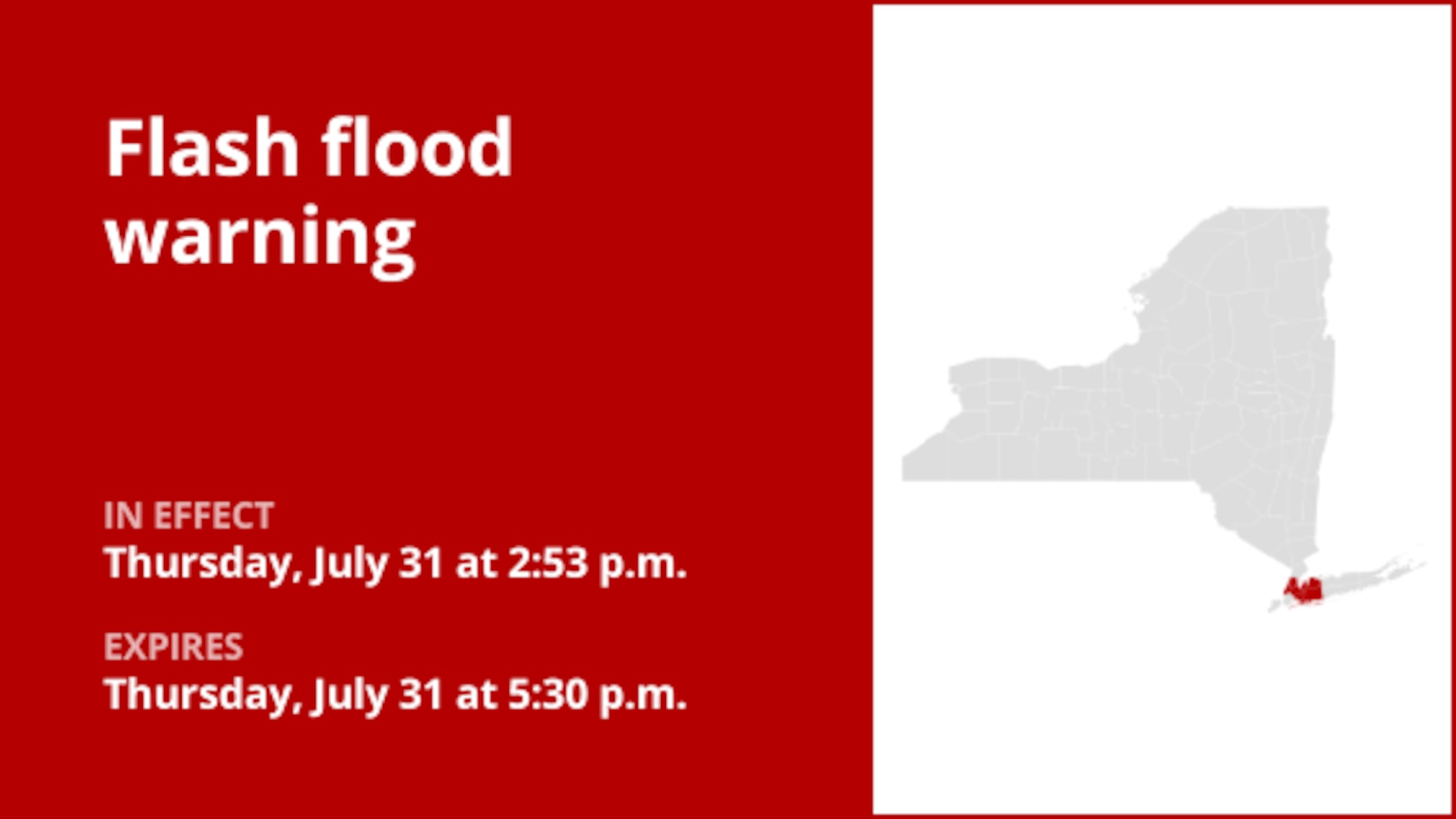
Specifically, the warning is in effect until 5:30 p.m. on Thursday, encompassing the Bronx, Manhattan, and Queens, alongside Nassau County. This critical “NYC Weather Alert” highlights a period where heavy rainfall could lead to extremely hazardous situations, demanding heightened awareness and preparedness from the community.
According to Doppler radar data, thunderstorms are actively producing heavy rain across the warned areas, with estimates of 1 to 3 inches already fallen. The “National Weather Service” anticipates an additional rainfall rate of 1.5 to 3 inches within just one hour, indicating that flash flooding is either ongoing or expected to commence very shortly, escalating the “Emergency Weather” threat.
The impact zone for this severe weather event is extensive, affecting numerous prominent locations. These include Flushing, Mott Haven, East Tremont, Glen Cove, Mineola, Great Neck, and major transportation hubs like the Throgs Neck Bridge, LaGuardia Airport, and the RFK Bridge. Other areas under threat are Harlem, Jackson Heights, Bayside, Co-op City, Whitestone, Port Washington, Manhasset, City Island, Sands Point, Little Neck, and East Hills.
Given the imminent danger, the National Weather Service strongly advises residents to “Move to higher ground now!” This is categorized as a dangerous and life-threatening situation. Travel is strictly discouraged unless you are actively fleeing an area subject to flooding or under an evacuation order. The critical message, “Turn around, don’t drown,” underscores the severe risks of encountering flooded roads, as most flood-related fatalities tragically occur in vehicles.
Understanding different alert levels is vital for personal safety during a “New York Flash Flood.” A flash flood warning signifies that a flash flood is either imminent or already occurring, demanding immediate movement to high ground if you are in a flood-prone area. In contrast, a flood advisory indicates that flooding is not expected to be severe enough for a warning but can still cause significant inconvenience and potential threat if caution is not exercised. A flood watch, meanwhile, means conditions are favorable for flooding, implying possibility rather than certainty.
To navigate these perilous conditions safely, adhering to fundamental “Flood Safety Tips” is paramount. Never attempt to walk through floodwaters, even if they appear shallow; just six inches of fast-moving water can forcefully sweep an adult off their feet. Should you become trapped by moving water, prioritize making your way to the highest available point and immediately contact emergency services by calling 911 for assistance.
The risk of flooding significantly increases during periods of intense or prolonged rainfall, particularly in low-lying and flood-prone regions, or due to excessive runoff from saturated ground. It is imperative to avoid driving through any water on the road, regardless of how shallow it seems. The weather service cautions that merely 12 inches of rushing water can sweep most cars away. Staying prepared and well-informed is your best defense against such hazards.
By diligently following these comprehensive safety measures and heeding advice from local authorities, individuals can substantially reduce risks and safeguard their well-being when heavy rain pours down. Staying informed about evolving weather conditions is crucial to making safe and sound decisions during these challenging times.


Leave a Reply